
Expert Surveying and Assessments
Overview
At Piling, we specialize in providing top-quality survey solutions that are essential for maximizing the efficiency and safety of your construction projects. Surveys can serve various purposes, from assessing land for development to determining property boundaries, and our expert team is dedicated to ensuring that your survey is accurate, reliable, and compliant with regulations.
What Are Survey Services?
Survey services encompass a range of techniques and solutions aimed at collecting and analyzing data about land and property in both residential and commercial settings. This includes land surveying, topographic surveys, boundary surveys, and custom assessments tailored to your specific needs. Our experienced professionals work diligently to ensure that every survey project meets high standards of accuracy and quality.
Land Surveying
Overview: Land surveying measures and maps land to determine property boundaries and features, providing essential data for construction and land development.
Applications: Used in residential and commercial projects, boundary disputes, and infrastructure planning.
Benefits: Ensures precise measurements for legal documentation. Clarifies property lines to prevent disputes. Aids in land use planning and project feasibility.
Topographic Surveying
Overview: Topographic surveying maps the contours and features of land, capturing elevations and structures to visualize terrain.
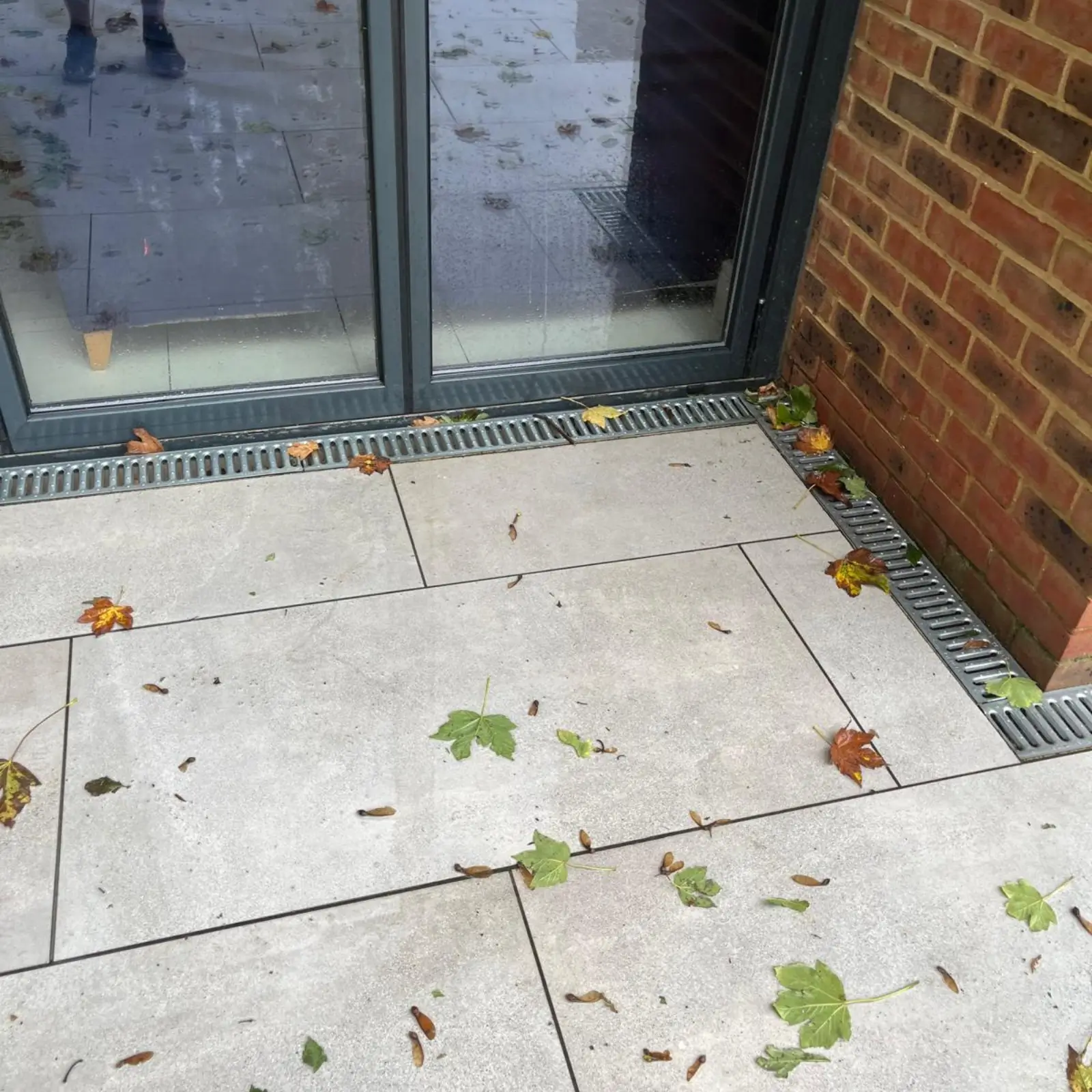
Applications: Used in site development, landscape design, and drainage planning.
Benefits: Provides insights into land features for effective planning. Helps optimize placement of structures. Evaluates potential impacts and drainage patterns.
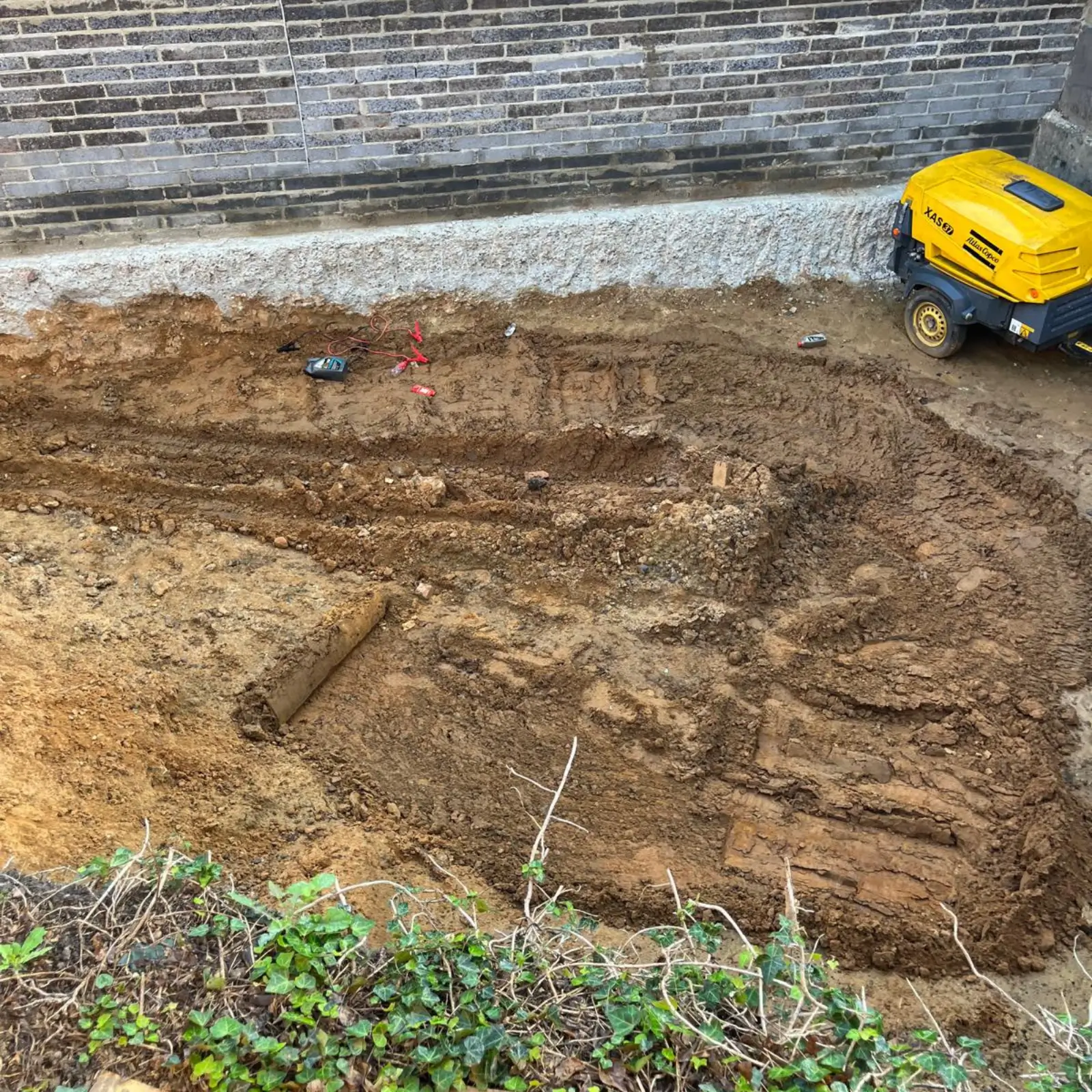
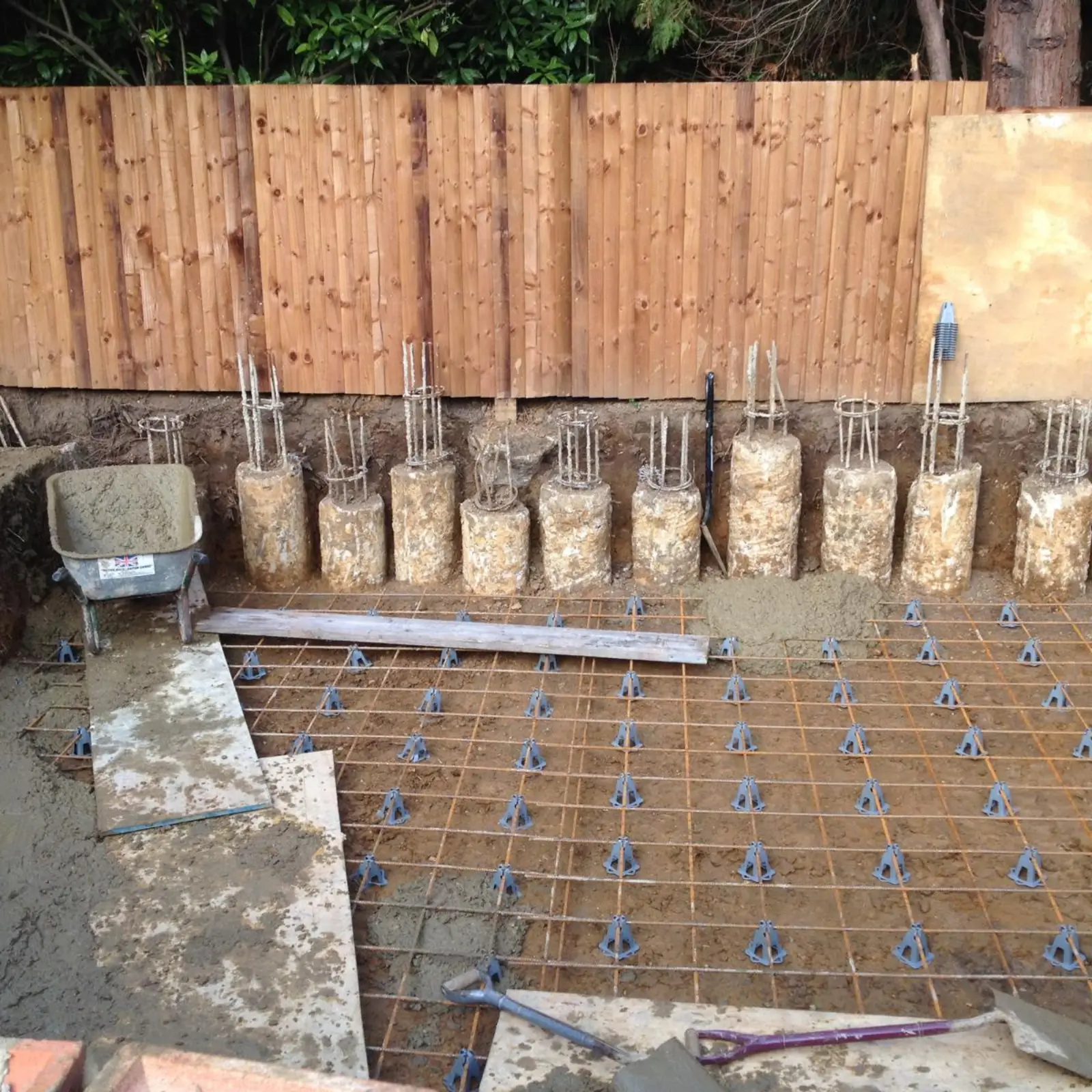
Construction Surveying
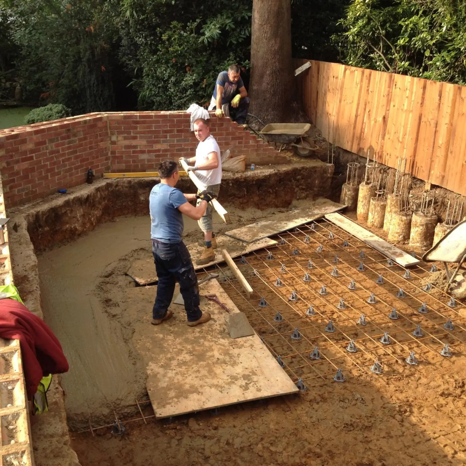
Overview: Construction surveying involves precise measurement and mapping of a site to guide the placement of structures.
Applications: Utilized in all phases of building projects for accurate alignment and positioning.
Benefits: Minimizes costly errors in positioning. Facilitates smooth workflows. Ensures adherence to zoning and safety regulations.
FAQs
Yes, a survey can help determine property lines to avoid disputes with neighbors.
Discrepancies can be resolved by consulting a professional surveyor for a boundary survey.
Yes, surveying is essential to ensure the accurate placement of structures and compliance with regulations.
While basic measurements can be done, professional surveys are recommended for accuracy and legal purposes.
The duration varies based on the type and size of the property but usually ranges from a few days to a couple of weeks.
Common types include land surveys, topographic surveys, boundary surveys, and construction surveys.